Project Description
DESCRIPTION
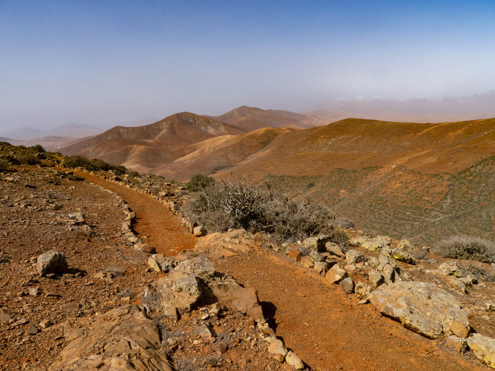
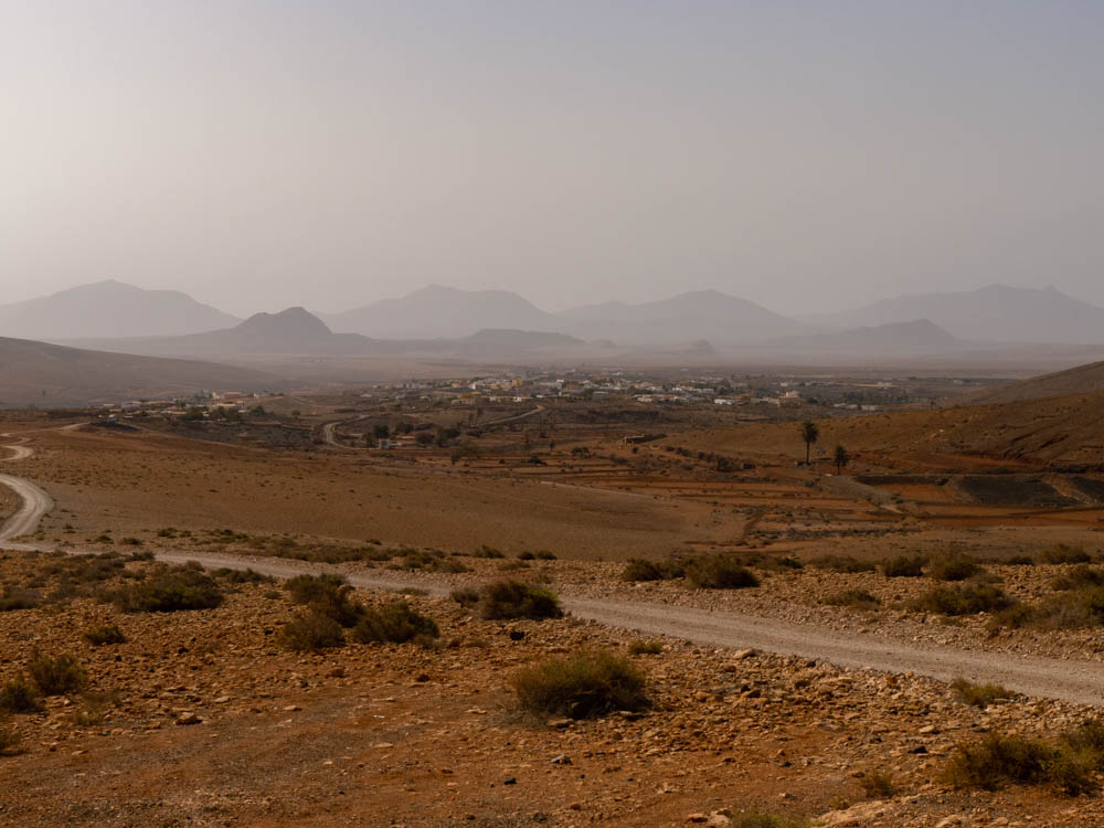
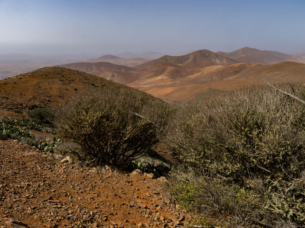
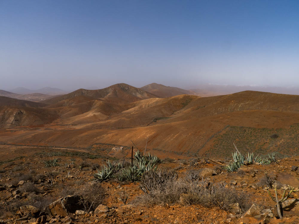
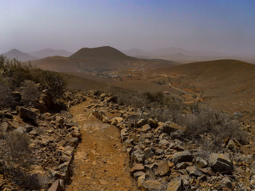
With this tour we will enter the Fuerteventura of the past. We will move to Tiscamanita located at the foot of the volcano of Gairia, a village that once had some importance due to its fertile land where wheat and barley grew. Before starting our route we will visit the Interpretation Center Los Molinos which will give us an idea of how the majoreros processed wheat to make gofio, sustenance of the inhabitants of Fuerteventura for centuries, along with goat meat. Once visited the mill we will start our march leaving behind the village of Tiscamanita and entering a landscape dotted with terraces and “Gavias”. Then we will ascend to the Morro de Jorjado with its 680 m altitude from which we can see: to the west the valley of Betancuria, Vega de Rio Palmas and east: Tiscamanita, Agua de Bueyes, Antigua and the malpaís chico and grande( Volcanic landscape). Once we have enjoyed the views we will go downhill towards the Morro del Rincón del Atajo to descend towards Agua de Bueyes and return along the ravine to Tiscamanita.
TECHNICAL FILE
DIFFICULTY: LEVEL 3
DISTANCE: 12 KM
ELEVATION + : 488 M
ELEVATION – : 488 M
ROUTE: CIRCULAR
DURATION: 5-6 H
TRANSPORT: 1 H
MAX GROUP: 8 PERS
RECOMMENDATIONS
- Close footwear (mandatory) with profile on sole
- Cap, hat or similar
- Coat ( Windbreaker or similar)
- Sunscreen (factor 50 highly recommended)
- Sunglasess
- Photo Camera

